Canoeing The Churchill River System in Northern Saskatchewan
Posted on August 1, 2013 • 8 minutes • 1495 words
Table of contents
Settling back into the prairie life after nearly 5 years of living in Halifax, Nova Scotia, I was determined to truly take in life the flatlands of Canada. What many people often forget is that Saskatchewan has over 100,000 lakes, and countless rivers, each more unique than the next. While this square shaped province might be landlocked, you’d have a tough time telling as you drive from lake to lake. Knowing full well that I wanted to be on the water as much as humanly possible this summer, it seemed logical to buy a canoe. So I did. After a few trial runs in Wascana Lake (Regina’s beautiful man made lake in the middle of the city), followed by a couple trips to Echo Lake, it was time for something a little more rugged, a little more historic, and a lot more north. My girlfriend and I loaded our red canoe on top of my little Ford Focus, and proceeded to strap it to the roof of the car, ensuring it’s tight enough that it won’t take flight along the long stretches of highway. 8 hours later we found ourselves on a lake side campsite at the Missinipe Campground in Lac La Ronge Provincial Park. Smack dab in the middle of voyageur territory. [caption id=“attachment_5536” align=“aligncenter” width=“650”]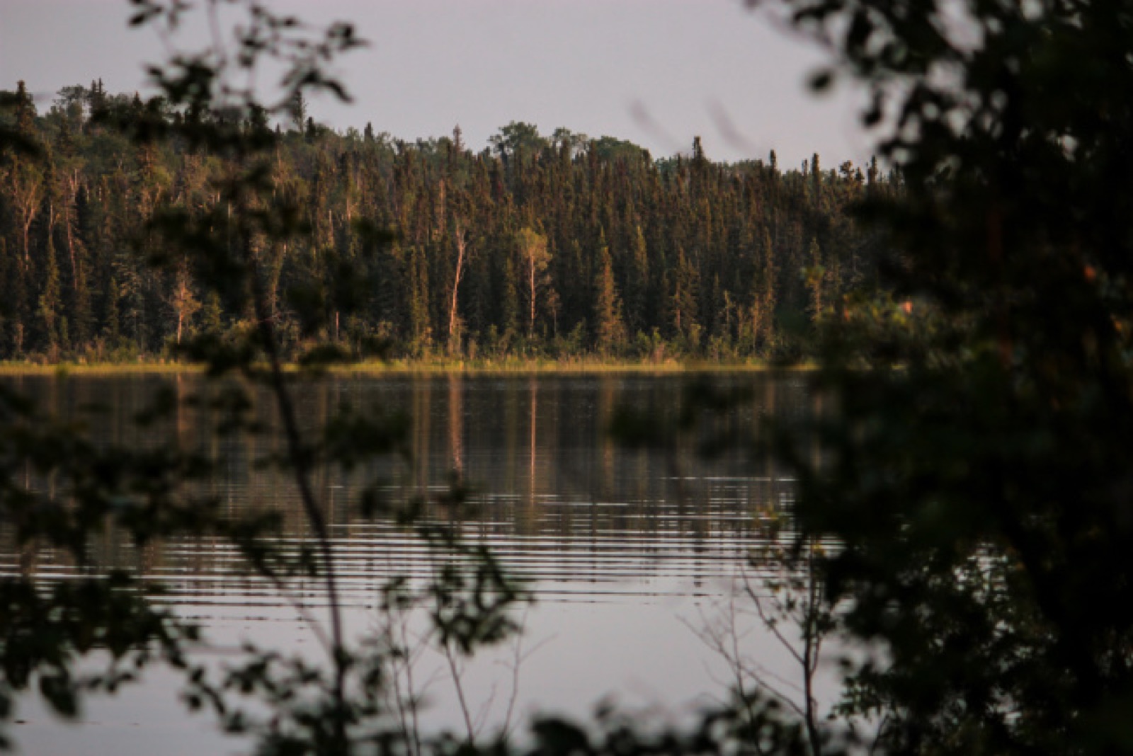 Photo by Kristian Platt[/caption]
A sudden change in scenery
It’s incredible watching the change in scenery. Driving north from Regina, the topography changes from flatlands to rolling hills, eventually exploding in a panorama of rocks, trees, and pristine waters. The boreal forest that covers most of Northern Saskatchewan certainly plays against the Saskatchewan stereotypes. I like to remind people about this little fact whenever I hear “Don’t stop in Saskatchewan” from a traveller. My know-it-all attitude tends to force me to say something along the lines of: “Don’t stop!? Are you crazy? Do you know why the Saskatchewan flag has a Green and Yellow Stripe Mr/Mrs Too-Cool-For-Saskatchewan? It’s not just because we love John Deers dontchaknow! That top green stripe represents the lush forests of Northern Saskatchewan while the yellow represents the rolling fields of Southern Saskatchewan. You’ll be missing out on a seriously beautiful landscape if you opt to skip this province.” [caption id=“attachment_5538” align=“aligncenter” width=“650”]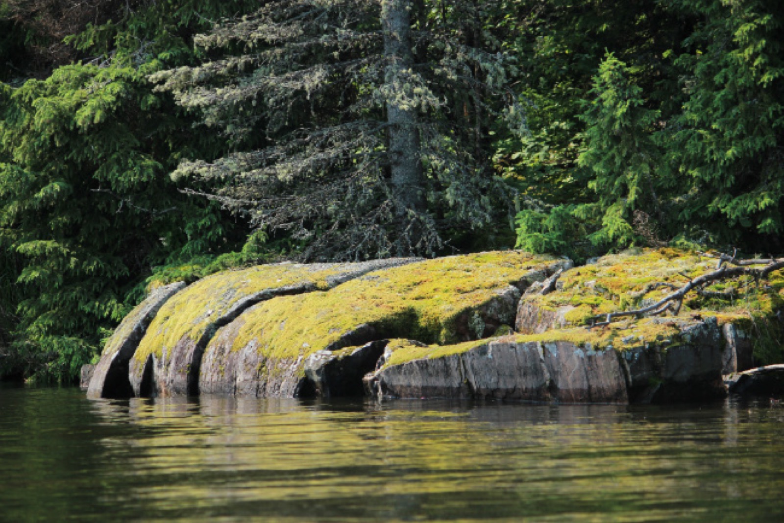 Photo by Kristian Platt[/caption]
Camping in Missinipe
The Missinipe Campground in Lac La Ronge Provincial Park is relatively small, but has all the modern amenities you’d look for in a campground. Flush toilets, a couple showers, a sink that spits out clear water, large campsites, oh! – and jurassic sized mosquitos eager to drink your precious blood. Bathing in bug spray calms them down temporarily, but be warned. These northern mosquitos are like nothing you’ll find in the southern parts of Canada. They’re vicious. Skeeters aside, it’s a great place to set up camp before a 2-3 day canoe trip along the majestic Churchill River System. At the crack of dawn, we packed up our camp and threw our valuables into a 65L yellow dry sack. Tipping wasn’t on the agenda for the weekend, but better to be safe than sorry. We stopped at the Churchill River Canoe Outfitters , owned and operated by Ric Driediger and his wife Theresa since 1987. Ric & Theresa are the local experts on canoeing the Churchill River System. Need a canoe map? Insight into which islands to camp on? Which rapids to steer clear of, and where to find the historic sites along the Churchill River? Or even just reassurance that even novice canoeists can spend a weekend in these parts without any issue? Ric & Theresa are it! They wished us a warm and happy “Good Luck!” as we left their shop with a canoe map in hand and a good idea of where we’ll be camping that night. [box type=“info” size=“large” border=“full”]
Pro Tip:
There is plenty of wilderness camping in northern Saskatchewan, particularly in the Lac La Ronge Provincial Park. While it’s not often publicized, after all, official campgrounds earn the park money, but you can camp just about anywhere in the park, including the 1000+ islands that are scattered throughout the area. Just remember the old adage: Take only photos, leave only memories. Be sure to check the fire restrictions with Park Staff before starting a campfire. Visit Ric & Theresa at Churchill River Canoe Outfitters for a map of the area and they can show you some great places to camp for the night. [/box] [caption id=“attachment_5540” align=“aligncenter” width=“650”] Photo by Kristian Platt[/caption]
A Warm Weekend Canoe Trip
We drove to the boat launch, hauling our big red canoe from the top of the car to the edge of the water. After parking the car, we balanced the canoe with our camp gear. 20L of drinking water, a cooler with food & beer, our backpack, the dry sack, then finally us. Kristian was seated in the bow of the canoe, smiling at me, and perhaps the warm weather. Knowing this was going to be a superb adventure, I pushed off land with my left foot, my right foot keeping balance inside the stern, I sat gently and we were off. The sun was beating down on us, the wind barely a breeze, the sound of our paddles cutting through the water, pulling our canoe further out into the wilderness with each stroke. For the first 30 minutes, we watched as sea planes came and went from a few hundred meters from us. These vintage planes were filled with fisherman trying to get as north as possible, to relax in a boat with a few friends, drink a couple beers, and fish. I smirked, having been on the exact plane I saw taking off before us only a few weeks before on a big fishing trip. 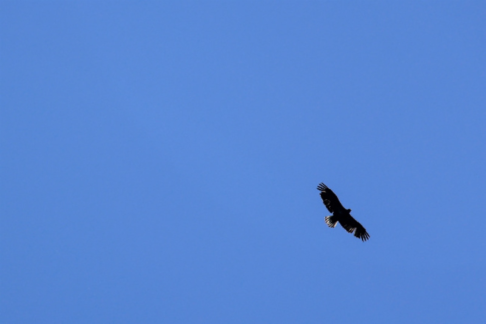 As we passed the second inlet, the small town of Missinipe had completely disappeared. We were paddling with the current, making good speed. Kristian pointed above us, a bald eagle was riding the updrafts of warm wind. She zoomed in with her camera and snapped a few photos. This area is the second largest nesting area for Bald Eagles, making them fairly easy to spot throughout the provincial park.
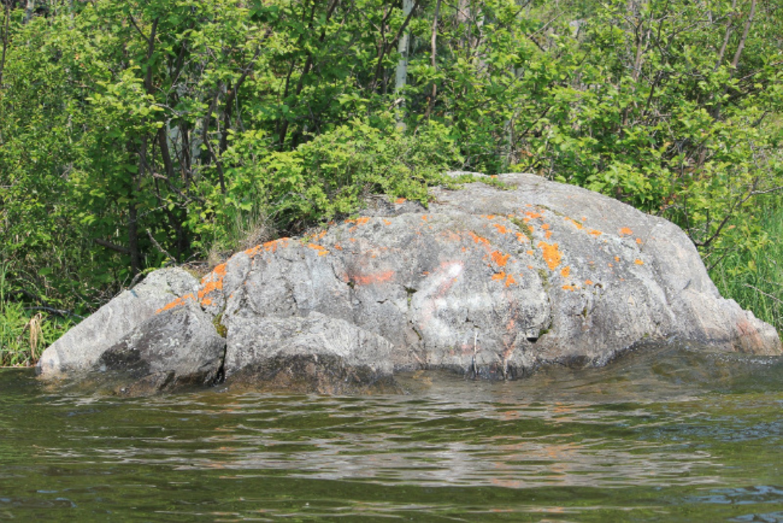
“Bear Rock” or just a Bear Shaped Boulder?
While canoeing I explained to my girlfriend about the first european explorers who visited this area. I read about this one particular tale of Alexander Mackenzie’s first voyage
to this region. With a canoe and a first nations guide, he was shown “bear rock”, a large boulder that looked like a bear. Local first nations even painted it. Apparently nobody has seen it since, but it was written about in detail in his notes. We laughed, thinking it would be very cool if we stumbled across it. A kilometer of paddling later, we came across a boulder that looked almost identical to a bear, and even appeared to have been painted. Could this be it? Or just us just seeing things that we hoped for. Either way, we took pictures, laughing at the strange coincidence. 
A little Saskatchewan island to call our own
5 hours of paddling later, after winding through dozens of islands both large and small, waving at a handful of other canoeists & smiling at a few fishermen, we pulled onto an unnamed island a couple kilometers in diameter, dragging our canoe up a rock ledge and tying the boat to a fir tree. After setting up the tent, and cooling off in the frigid waters of the Churchill River, we made a quick meal over the campfire. As dusk approached, the sound of trees falling into the water erupted around us. It sounded as if it was coming from the inlet opposite from us. A beaver was hard at work until just after midnight, no doubt doing some home renovations on his dam. Stargazing while enjoying the busy beaver fast became moongazing as a red lunar eclipse ignited the sky. [caption id=“attachment_5546” align=“aligncenter” width=“650”]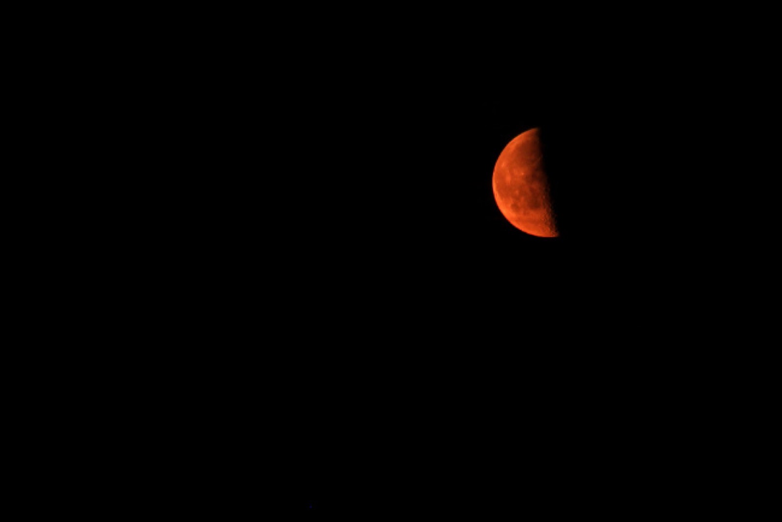 Photo by Kristian Platt[/caption] We considered the possibility of playing hooky from work and continuing on towards Robertson Falls, and trying to find some of the old rock paintings left centuries ago; however, our shoulders begged us not to. This area is far too large to tackle every bit of it in just a weekend, and no doubt we’d have to come back for more camping and exploring. The history buff in me was craving to see Saskatchewan’s oldest building, the Holy Trinity Church at Stanley Mission. Next time! This area was first occupied by the first nations people of Canada. Canoeing wasn’t just a leisure activity then, it was a way of life. While many explorers since have came and went, the area still feels rugged, wild, and serene. While you’ll certainly come across a handful of boats while canoeing this area, come nightfall it feels like you’re in the middle of nowhere. It’s no wonder why so many people call this place a canoeists paradise. [mappress mapid=“106”]
